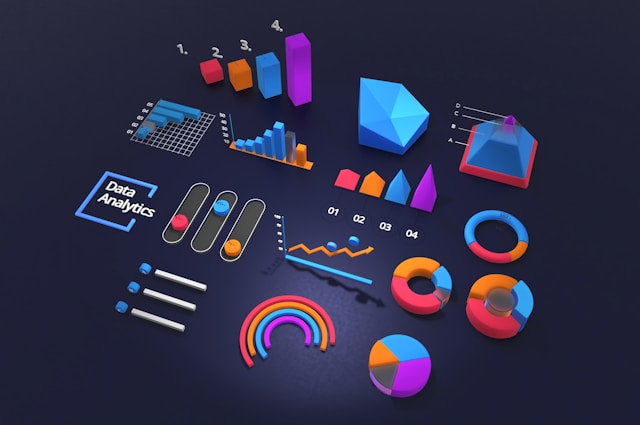
Data Analytics
Transform raw data into actionable insights with advanced analytics
Data Science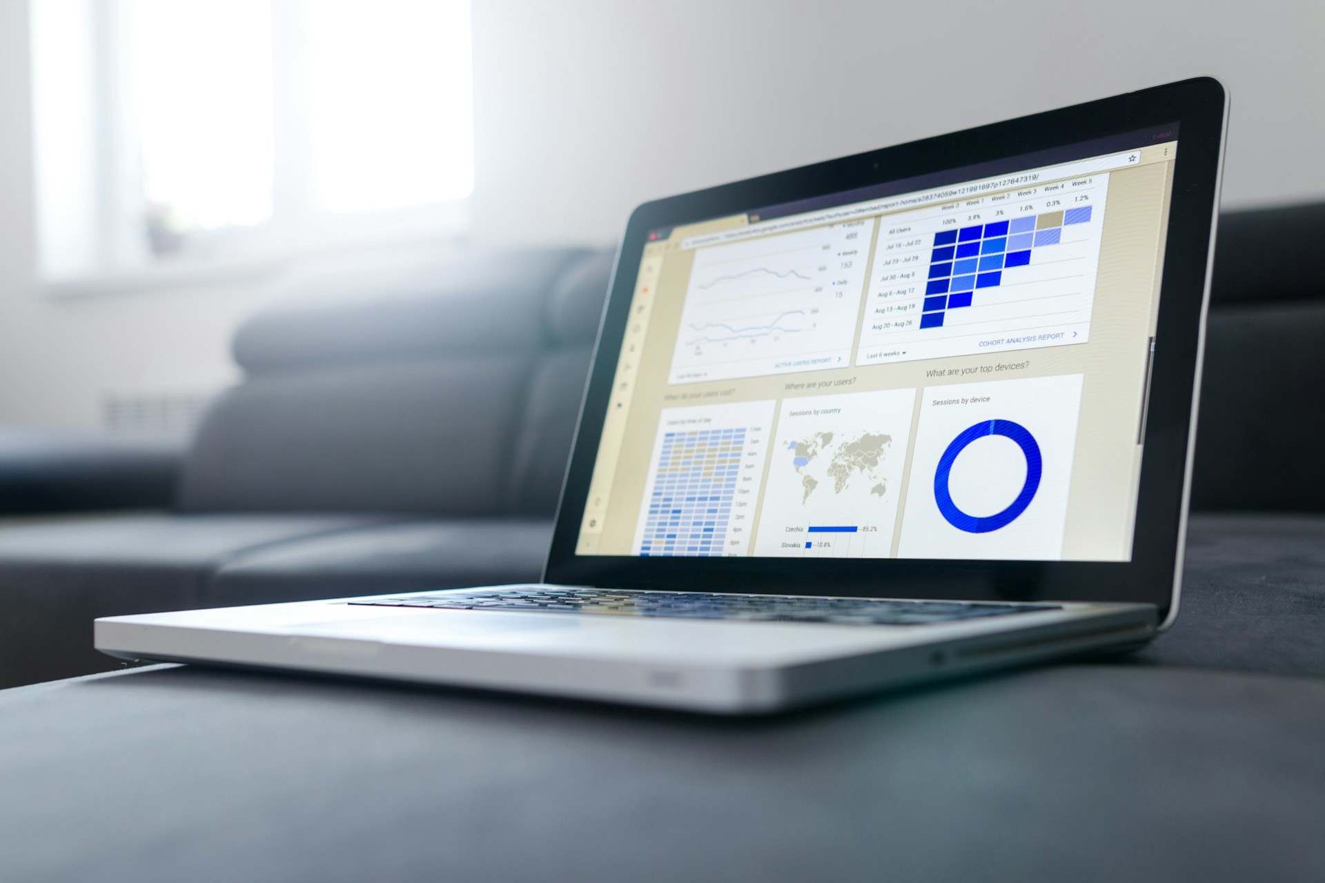
Analytics: Data-Driven Decisions

Whether in Industry or Academia

In Earth Sciences & Business Intelligence

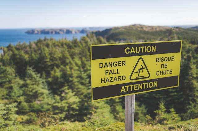
Natural Disasters: Seismology, Risk Analysis
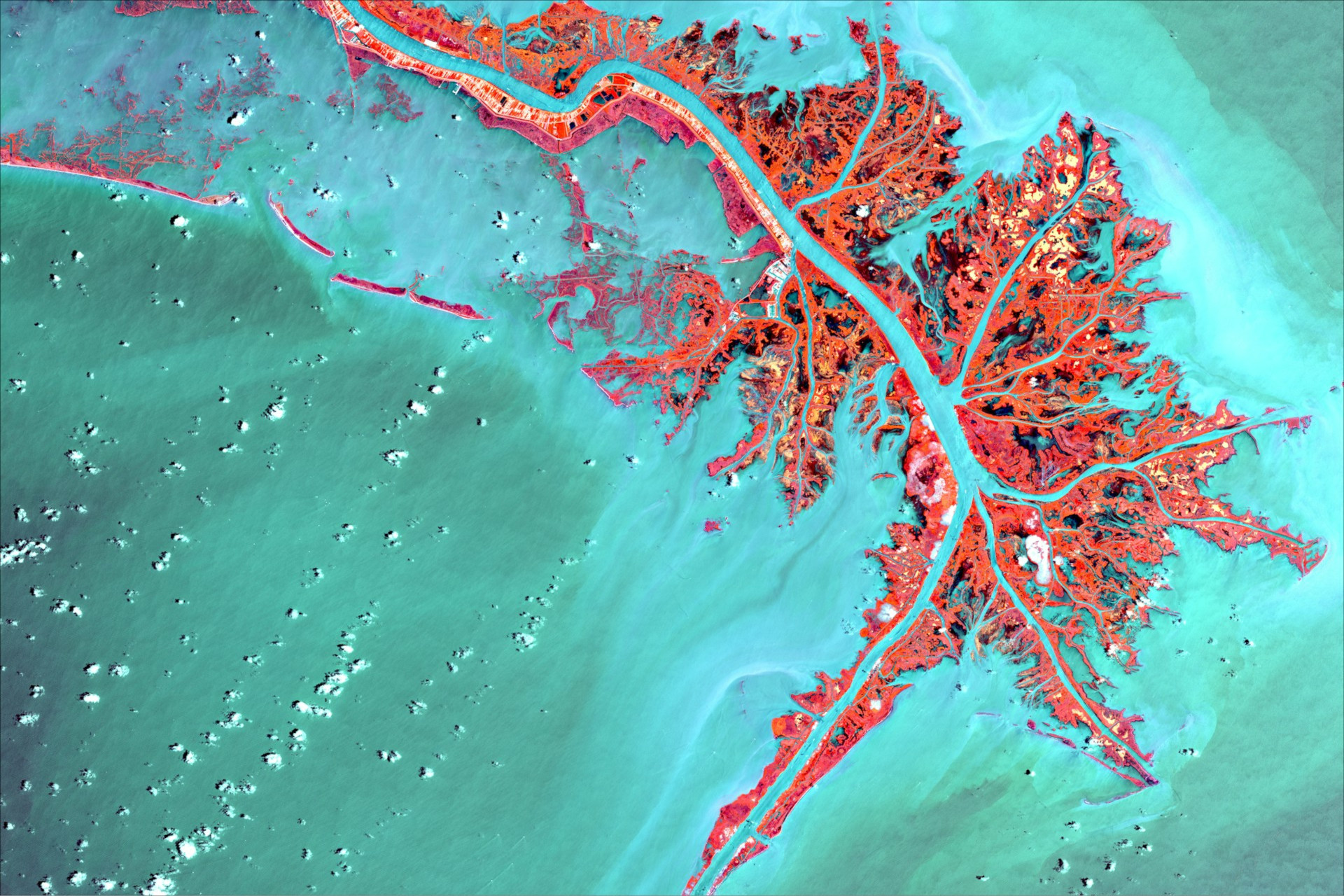
Remote Sensing
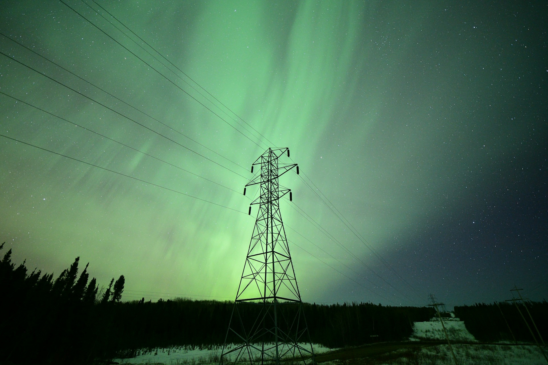
Geomagnetism, Space Weather Hazards
We help you make sense of your data to solve tangible business challenges. Our approach is straightforward: we listen to your specific needs, analyze your unique dataset whether it's from the earth beneath us or the digital marketplace and deliver the practical tools you need. From interactive dashboards and statistical reports to geoscientific models, we provide the clarity and insights for you to make confident decisions and achieve a tangible return on your data.
We provide a spectrum of data solutions tailored to your challenge. Our approach combines proven analytical techniques from statistical modeling and machine learning to spatial analysis with the strategic application of modern tools like Generative AI. This versatile methodology allows us to deliver robust insights and practical tools, whether your focus is on Earth's systems or business performance.
Transform raw data into actionable insights with advanced analytics
Data Science
Interactive dashboards for real-time monitoring
Emphasizing the stewardship, quality control & management of complex datasets.
Data Curation
Rigorous modeling to quantify uncertainty and analysis of future scenarios
Advanced AnalyticsWe provide precise, proactive geoscience solutions that address today's complex challenges through integrated analysis of Earth's systems, helping build a more sustainable future.
Detailed studies for an accurate subsurface assessment and informed decision-making
Seismic Hazard
Subsurface modeling and spatial data analysis
Geophysical Methods
Advanced mapping and spatial intelligence

Analysis of space weather impacts on critical infrastructure
Space ScienceDiscover how we transform data into actionable insights across different fields. These examples showcase our work spanning geoscience, business intelligence, and data analytics delivering tangible value through tailored approaches.
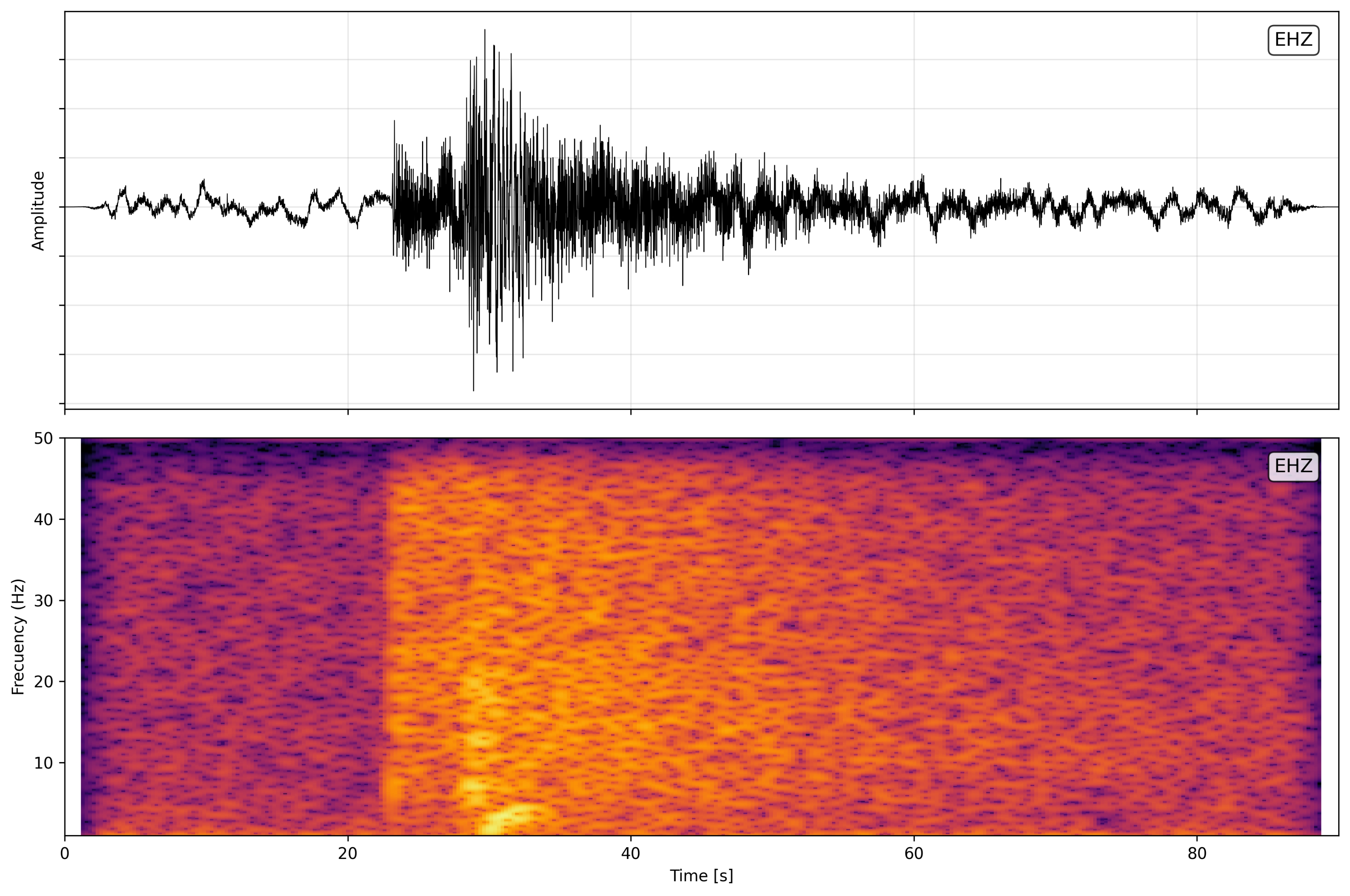
Parametrization of seismic events: from induced seismicity to quarry blasts
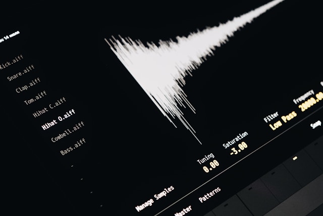
Seismology Signal Processing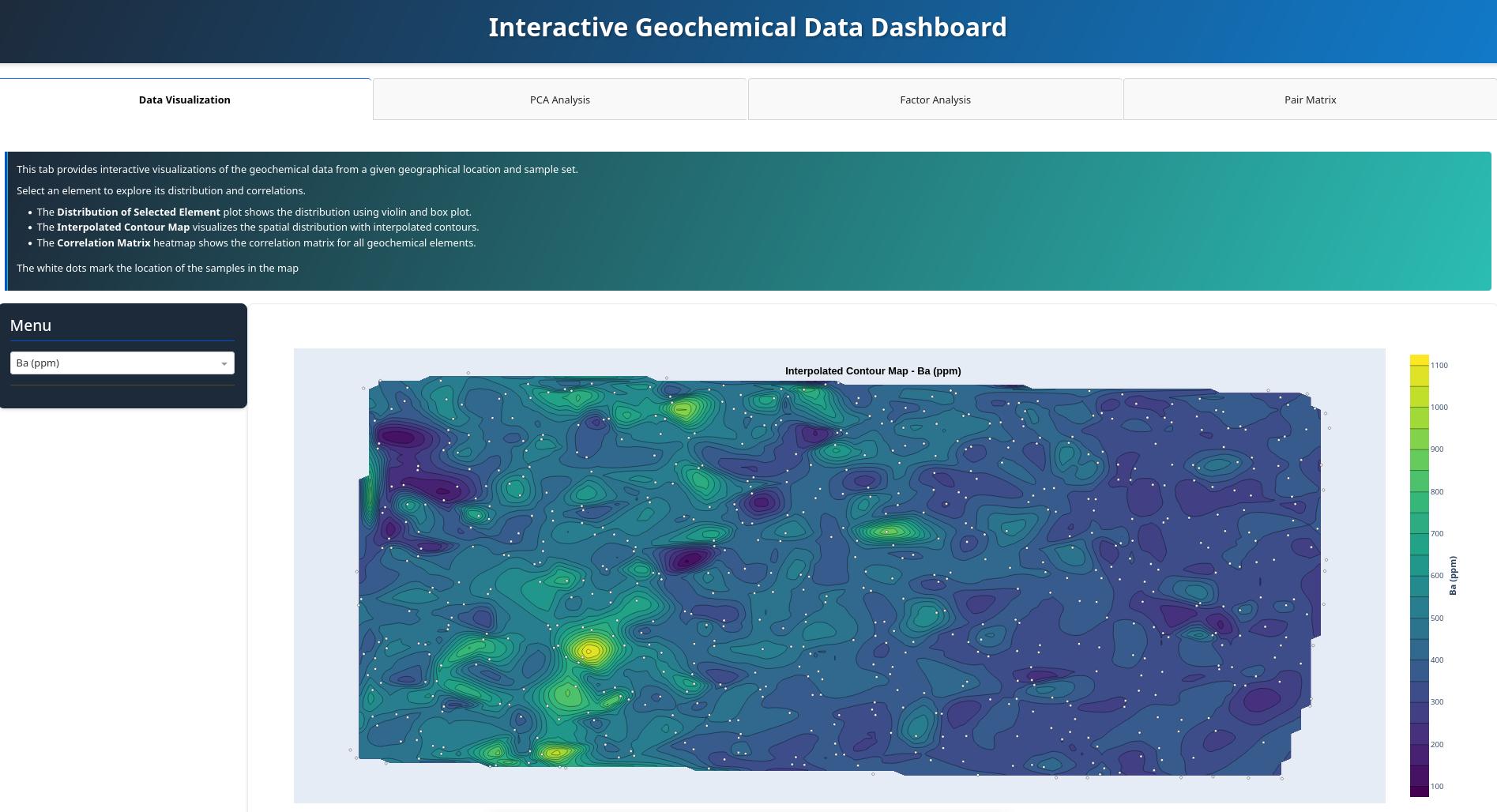
Interactive analysis of mineral abundances with PCA and clustering techniques
Data Visualization
Induced geoelectric field along the Mexican territory during a severe magnetic storm
Space Weather Geomagnetism
Emphasizing the stewardship, quality control, and management of complex datasets.
ROS Kriging
Advanced magnetic field mapping and anomaly detection
Geophysical Analysis
A Business Intelligence dashboard for e-commerce analytics
Business IntelligenceLet's discuss how we can apply these proven approaches to your specific challenges.
Start Your Project
Enhance your skills with specialized courses
Professional Development
Excel in your research and career
Academic Support
Join our innovative team
Career OpportunitiesTell us about your challenge
Send a message or schedule a consultation

Whether in research or business activities, the main goal is to get the most of your data. In the current context, data is worth much more than the cost of the hardware that stores it. Thus, operations like data wrangling and processing are time-consuming, and a careful strategy is critical in order to get the results.
Data Visualization: Design and development of interactive dashboards, DB queries and automated reports that allow you to monitor the health of your business in real time. Descriptive Analysis: What Happened? We answer this question by analyzing historical data to understand trends, patterns, and behaviors.
Data curation transforms diverse data into trusted, accessible assets. This comprehensive management of the data lifecycle enables confident decision-making for resource management and long-term operational planning.
At the heart of advanced analytics, we apply rigorous modeling to go beyond raw data. This allows us not only to understand the present, but also to quantify uncertainty and project future scenarios with a scientific basis, validating the relationships between variables before predicting.
Seismic analysis operates as a vital diagnostic tool, providing critical insights into ground behavior and enabling proactive protection of assets while ensuring operational continuity across different sectors.
Unlike direct interpretation, inversion uses algorithms to find a subsurface model whose predicted
response matches the observed geophysical data, significantly reducing ambiguity.
Geostatistics provides the framework for analyzing spatially distributed data. Its fusion with AI and
machine learning is unlocking unprecedented predictive power, leading to more accurate resource models and environmental assessments.
Beyond creating charts, we transform complex data into clear, impactful visual stories. Design and development of interactive dashboards and automated reports, that allow you to monitor the development of diverse activities at the Earth's surface.
Our technologically-dependent society is increasingly vulnerable to space weather. A single solar event can trigger a cascade of disruptions across critical infrastructure, demanding a holistic, cross-sectoral approach to risk management.
Keep on track with our 2026 Training courses (soon!)
Want to Outperform in your Geophysics M.Sc. or Ph.D. project?.
We can share our academic and professional experience to help you!!
Do you want to collaborate with or learn about our activities?
Please talk with us!!
This example presents a recording of an ML 1.2 quarry blast located 43 km southwest of the station.
The project involved processing terabytes of seismic data and developing predictive models that reduced uncertainty in risk evaluation by 35% compared to traditional methods.
We developed a comprehensive geochemical dashboard from a geophysical survey of a given geographical area, integrating data from 600 samples into an interactive dashboard. The solution provides geochemical info about mineral abundances and the main geological processes related to these mineralizations.
The implementation performs interactive clustering and factor analysis to show the main mineral abundances and their geographical distribution along the surveyed territory. To restore the app, press the button: "Yes, get this app back up!"
Two examples illustrating the use of Regression on Order Statistics (ROS) and Magnetic Kriging on two distinct Earth science datasets. These techniques are applied to geochemical and geomagnetic datasets, respectively.
This project involved the creation of a high-resolution magnetometric map for geological surveying. Using advanced sensor data and interpolation techniques, we identified magnetic anomalies indicative of mineral deposits and geological structures. To restore the app, press the button: "Yes, get this app back up!"
Business intelligence dashboard using an e-commerce public dataset. The dashboard features interactive visualizations for a comprehensive analysis, including sales geolocalization, payment methods used, product performance based on sales volume and pricing, temporal trends in revenue and key business metrics, and customer satisfaction. To restore the app, press the button: "Yes, get this app back up!"